Satellite system from Raytheon Intelligence and Space aims to boost mission-planning accuracy
NewsJuly 22, 2020

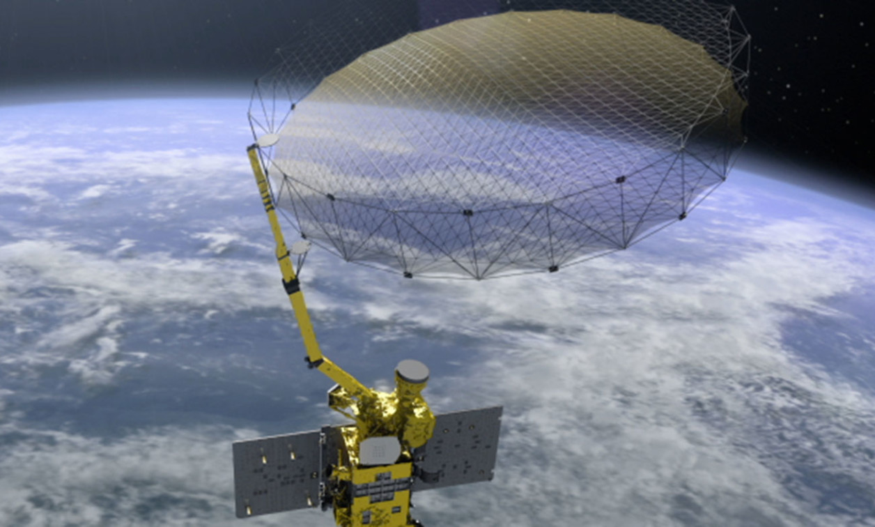
EL SEGUNDO, Calif. Raytheon Intelligence & Space (RI&S, a Raytheon Technologies business) has agreed to provide an initial prototype system design for the Next Generation Electro-Optical Infrared Weather Satellite for the U.S. Space Force’s Space and Missile Systems Center.
The satellite will provide the Department of Defense (DoD) with Theater Weather Imaging and Cloud Characterization (TWICC) capabilities that help to report and predict the weather; the TWICC satellite will improve the data output from those systems, helping operators make better-informed decisions on how to execute missions. Raytheon Intelligence & Space intends to design TWICC in just eight months by using existing technology from current weather systems including the Visible Infrared Imaging Radiometer Suite and Moderate Resolution Imaging Spectroradiometer.
“Our system will gather all the info needed to not only build an accurate weather forecast, but to really understand what’s going on in the atmosphere – both of which are essential to planning and executing a mission,” said Wallis Laughrey, vice president of Space and C2 Systems at RI&S. “Understanding clouds and cloud movement could be used for things as simple as route planning for air-to-air refueling or to know where clouds might be covering an area of interest.”
The program will be awarded in three phases: the RI&S contract runs through the initial prototype system design review, while the second phase runs through final design review while the third is build, integration, and launch.


