AI analytics for satellite imagery garners Preligens new contract with Asia-Pacific customer
NewsMay 22, 2024


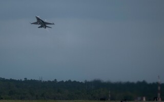
PARIS. Geospatial artificial intelligence (AI) provider Preligens (formerly called Earthcube) won a contract with an unnamed customer in the Asia-Pacific region to provide AI analytics software on high-volume government satellite imagery.
Since it was instituted eight years ago, Preligens is leveraging its geospatial AI tools to enable intelligence agencies and warfighting commands to maximize situational awareness and decision-making time by using AI to turn imagery and acoustic data into actionable insights, asserted Jean-Yves Courtois, Preligens CEO.
One of Preligens' AI tools, Robin, uses AI algorithms designed to detect military observables of interest, classify them, and identify their exact nature; the tool's customizable alerting system uses pattern-of-life analysis to cue analysts towards key signals.